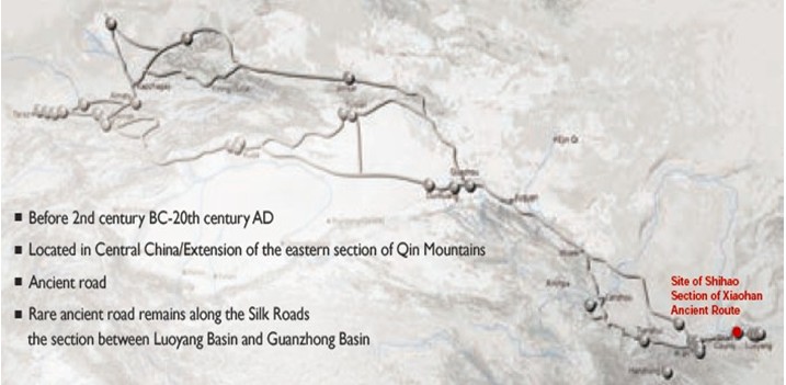
 Shihao Section of Xiaohan Ancient Route located in the hilly areas of Central China east of Qin Mountains, came into shape as early as the second century BC; it was part of the Xiaohan ancient route connecting Luoyang and Chang’an, two imperial capital cities of Han and Tang dynasties, and had continued being used till 20th century, providing a rare evidence of the historical support system for the long-distance lasting transportation along the Silk Roads. (2) General Information Xiaohan Ancient Route refers to the ancient road from Luoyang to Tongguan.It traversed the Xiao Mountain78on the south bank of Sanmenxia part of the Yellow River in Central China, linking two central regions of Chinese Civilization, namely, Guanzhong Basin and Luoyang Basin79. It thrived from Han to Tang dynasties as a major road connecting two capitals, Chang’an and Luoyang80, and continued to be used till the Republican period (1912-1949). The route started in Xin’an and Yiyang counties west of the ancient Luoyang city and reached Tongguan, a fort east of Guanzhong Basin. The route was named Xiaohan Ancient Route as its major part traversed the Xiao Mountain and the impregnable Hangu Pass81. South or north of the Xiao Mountain, the geographic conditions with its rolling hills and crisscrossing waterways are hostile to travelers, leaving Xiaohan ancient route the easiest channel linking this gap82. The areas the Xiaohan Ancient Route passes are situated on the eastern edge of the Loess Plateau, with a warm temperate continental monsoon climate, and the abundant waterways and lush forests provided optimal support in terms of food and water. The 200 km long Xiaohan Ancient Route was divided by ancient Shan Prefecture (now Shan County) into eastern and western sections, namely, the Hangu section and Xiaoshan section. Each section had a south route and a north route. The nominated site of Shihao section was on the north route of Xiaoshan section, between Xiashi town and Shihao village, 36 km east of the Sanmenxia city in today’s Henan province. As the natural barrier of Luoyang Basin and Luo River Plain, and the watershed of Yellow River and its branch Luo River, Xiao Mountain is famous for its steep topography. The location of the Shihao section is right along the valley of Jian River linking together Xiao River and Yellow River, a perennial important pathway across Xiao Mountain since ancient time. The archaeological work proved that this section of the ancient route has a total length of 1317 meters, consisting three parts84. The section that has been unearthed in archaeological excavation is located 800 meters southeast of Chehao village of Xiashi town in Shan county, 36km east of Sanmenxia city. The northwest – southeast stretching road is 230 meters long, of width varying from 5.2 meters to 8.8 meters. Main remains include limestone road pavement and three roadside water tanks. In the middle of the natural rock road remains there exist traces of deliberate cutting and chipping, apparently manual improvement to the natural land form, including three stone steps cut in three different periods, each with a height of 0.5 m. The water tanks were made through adapting the natural formed uneven surfaces, to provide drinking water to the travelers and their horses and other cattle. (3) Attributes The rarely preserved remains of ancient ruts, hoof prints, water tanks and a utilization period up to 2,000 years, as well as the hilly landscape along the route, make the site of Shihao Section rare and precious ancient road remains, which had witnessed and guaranteed the long-distance and long-term transportation and communications of the Silk Roads. Deep ruts was formed on the limestone pavement of Xiaohan Ancient Route due to long-term wheel compaction. Existing ruts varies in depth and width with the widest and deepest respectively 40cm and 41cm. The distance between two tracks of wheels varies from 1.06 meters to 1.56 meters, but the majority is 1.32 meters wide. This range testifies the long history of the ancient route being used since Warring States Period85; the unearthed remains dated mostly to late Qing dynasty and the Republic Period (1930s), showing that the pathway was still used as late as 1930s, which is a rare example along the Silk Roads. 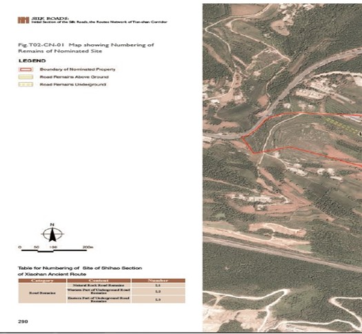 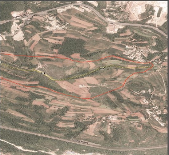 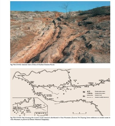 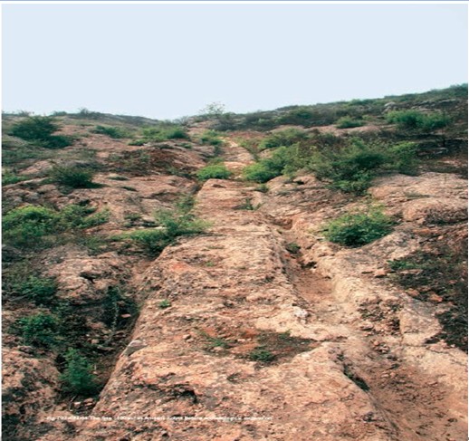 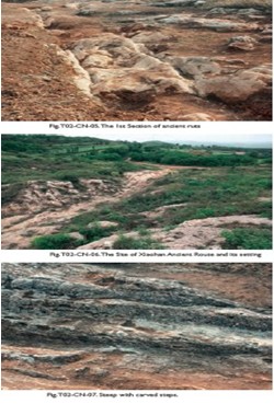 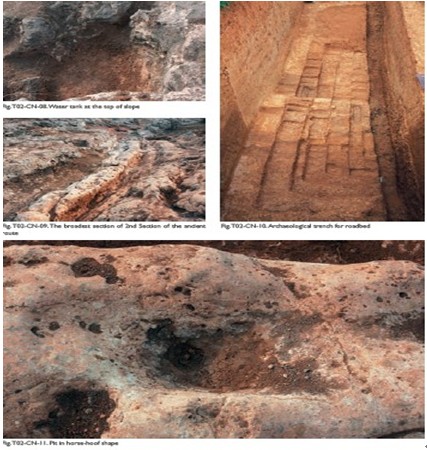 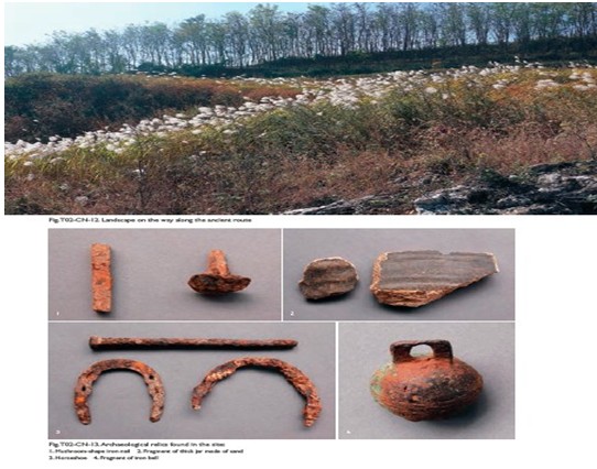 |
 |Archiver|小黑屋|丝路遗产丝绸之路:长安天山廊道的路网
( 陕ICP备07011065号-3 )
GMT+8, 2024-4-18 18:14 , Processed in 0.189745 second(s), 25 queries .
Powered by Discuz! X3.5
© 2001-2024 Discuz! Team.