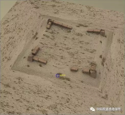
(Photo/WeChat of RADI) More than 1,000 years ago, several dotted, flake-shaped sections of the Great Wall stoodin Xinjiang, protecting the border and the trade road. Recently, researchers from the ChinaInstitute of Remote Sensing and Digital Earth (RADI) under the Chinese Academy ofSciences (CAS) analyzed the distribution of ancient Great Wall sections in Xinjiang usingremote sensing technology. They also used the technology to "restore" the wall'sappearance. 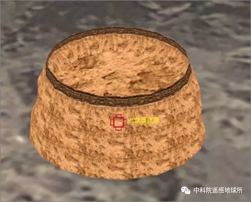
(Photo/WeChat of RADI) Remote sensing archaeology entails the use of electromagnetic waves and other sensors forlong-distance observation and detection of surface and underground remains. Aerospacedevelopment, and especially the increased resolution of remote sensing satellites, hasprovided greater precision and a more efficient platform for remote sensing archaeology. Nie Yueping, a researcher at RADI, explained that electromagnetic waves produced byvegetation, soil and geomorphology are different from those of historical sites. Suchdifferences cannot be seen by the naked eye. However, special equipment can obtainelectromagnetic wave data via remote sensing platforms such as space shuttles, satellitesand unmanned aerial vehicles. Archaeological information then can be extracted from thedata through computer processing. 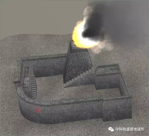
(Photo/WeChat of RADI) So far, more than 600 ancient remnants of the Great Wall have been found. Yu Lijun, anassociate researcher at RADI, said that the team has outlined a Great Wall resourcedistribution line, and are working to "restore" images of the ancient Great Wall. Throughvirtual reality technology, people may soon be able to take an online tour of the remains inXinjiang. Compared with traditional archaeological methods, remote sensing has many advantages.With the popularization of satellite technology, remote sensing data can be obtained underall weather conditions. Moreover, the cost of using the technology is relatively low, andcauses little damage to ancient remains. 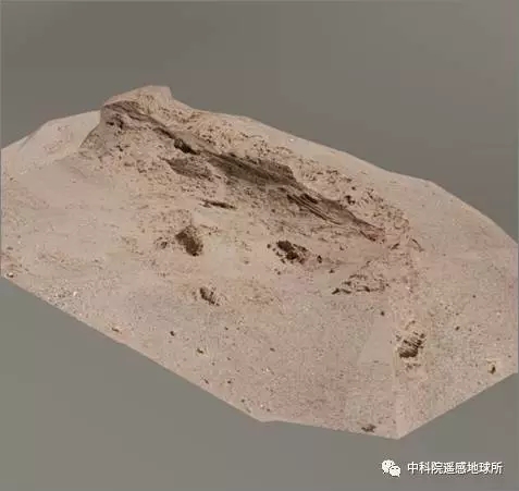
(Photo/WeChat of RADI) |  |Archiver|小黑屋|丝路遗产丝绸之路:长安天山廊道的路网
( 陕ICP备07011065号-3 )
|Archiver|小黑屋|丝路遗产丝绸之路:长安天山廊道的路网
( 陕ICP备07011065号-3 )


